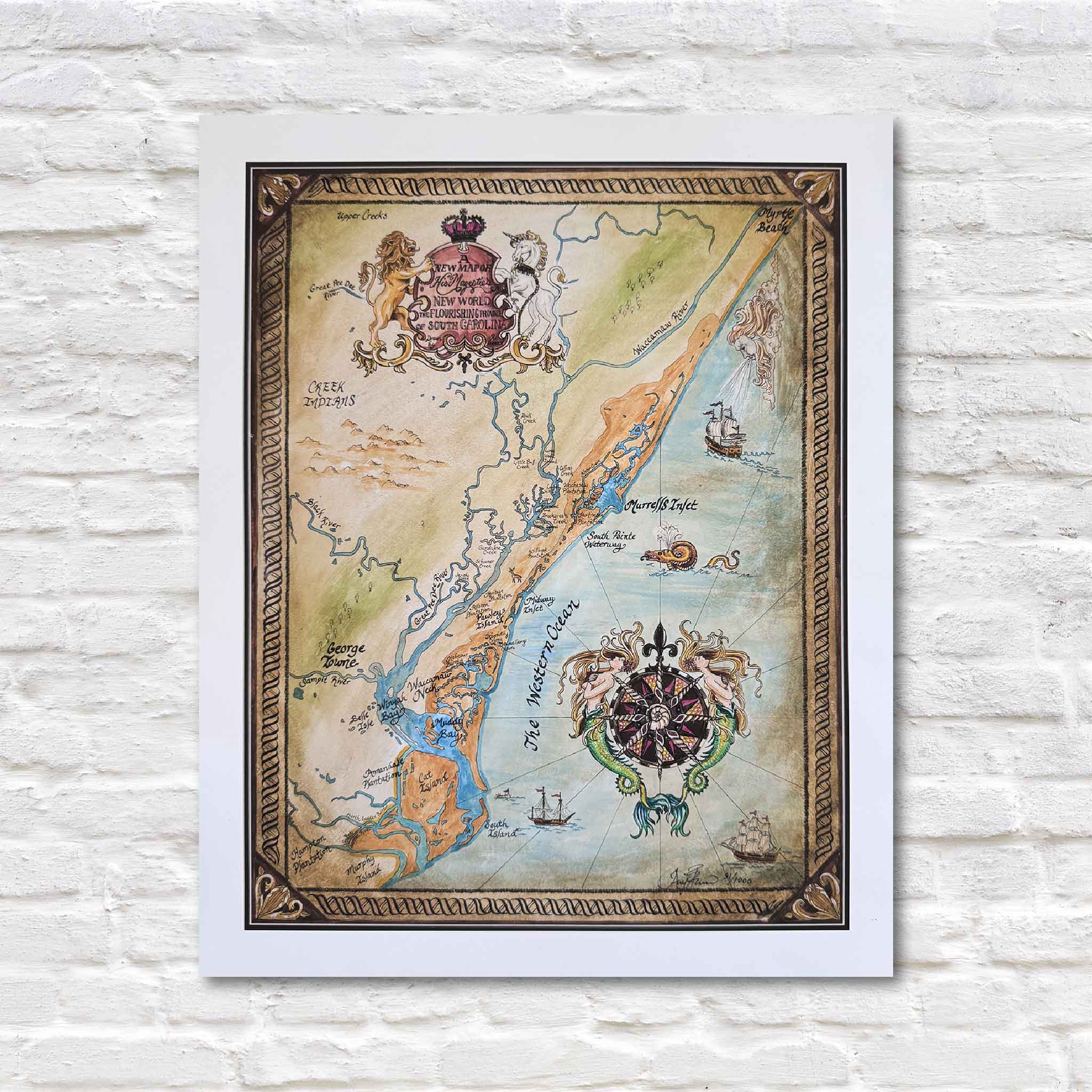
Old Georgetown Map (14.x18.)
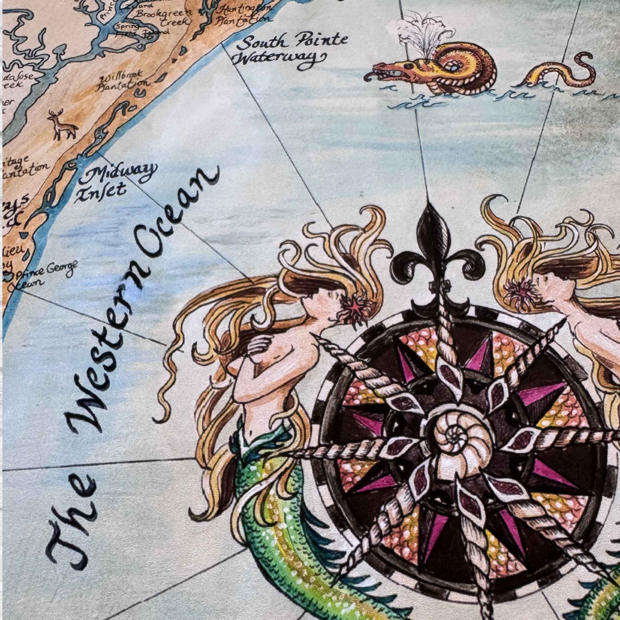
This whimsical, vintage-style print of a map by April Bensch highlights the coastal region of South Carolina with Georgetown at its heart. Hand-drawn in rich, earthy tones, it blends historical imagination with regional geography, featuring ornate details like a compass rose framed by mermaids and seahorses, a regal crest with a lion and unicorn, and playful maritime touches including sea monsters, tall ships, and a Neptune-like figure. Labeled landmarks such as Winyah Bay, Murrells Inlet, and historic Georgetown are woven together with nods to colonial history and Native American lands. Framed by a decorative border, the map captures the spirit of an old-world treasure map while celebrating the rich cultural and natural heritage of the Lowcountry.
14"W x 18"H
14"W x 18"H
Old Georgetown Map (14.x18.)
Sale price$75.00
Choose options
Old Georgetown Map (14.x18.)
Sale price$75.00