
Bulls Bay Map
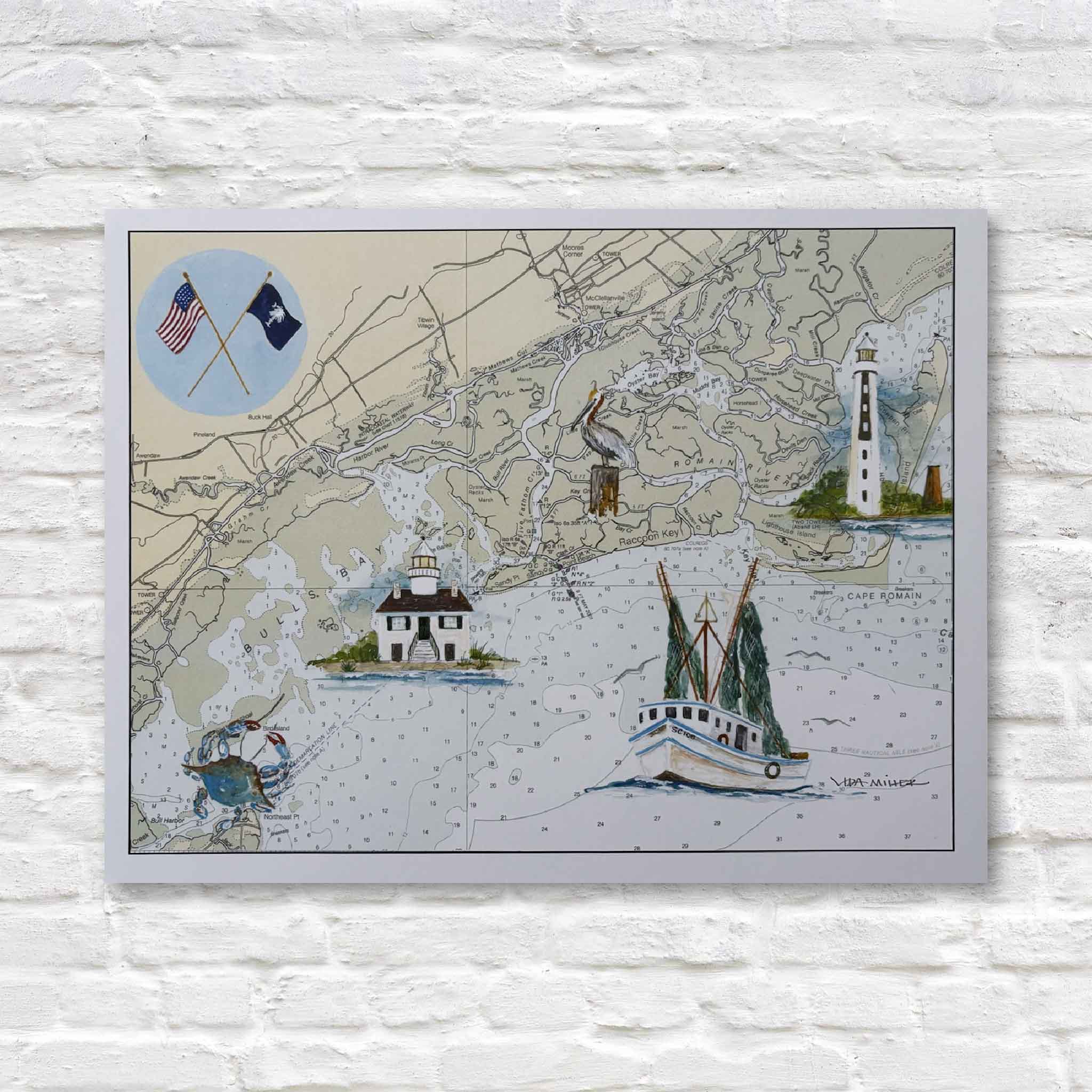
Bulls Bay Map by Vida Miller celebrates one of South Carolina’s most iconic stretches of coastline through a charming blend of art, history, and place. Printed over a vintage nautical chart, the piece features Vida’s hand-painted illustrations of local landmarks and symbols, including Cape Romain Lighthouse, a McClellanville shrimp boat, Raccoon Key Light, and a proud blue crab. Together, they tell the story of Bulls Bay’s rich maritime heritage and the communities that have long depended on these waters.
Part map, part artwork, and part keepsake, this piece appeals to anyone with a connection to the South Carolina coast. Whether you’ve spent time fishing the creeks, exploring Cape Romain, boating through Bulls Bay, or simply appreciate Lowcountry history, it captures the character of a place that remains beautifully wild and uniquely South Carolina.
Professionally printed and sized to fit a standard 11" x 14" frame, Bulls Bay Map makes a thoughtful gift for locals, visitors, boaters, history enthusiasts, and anyone who loves the Lowcountry.
14"W x 11"H
Choose options